
Note that some map collections are held in off-site, archive storage, so we advise that you contact Local Studies in advance if you wish to view a particular map or maps in order to ensure their availability when you visit.
NOTE : Map images below are purely for illustrative purposes – these collections may be viewed without appointment at Limerick Local Studies at Watch House Cross Library.
In addition to those illustrated below, Limerick Local Studies holds further maps in storage, which are listed here
Advance notice of at least three days must be given in order to arrange viewing of maps in this list.
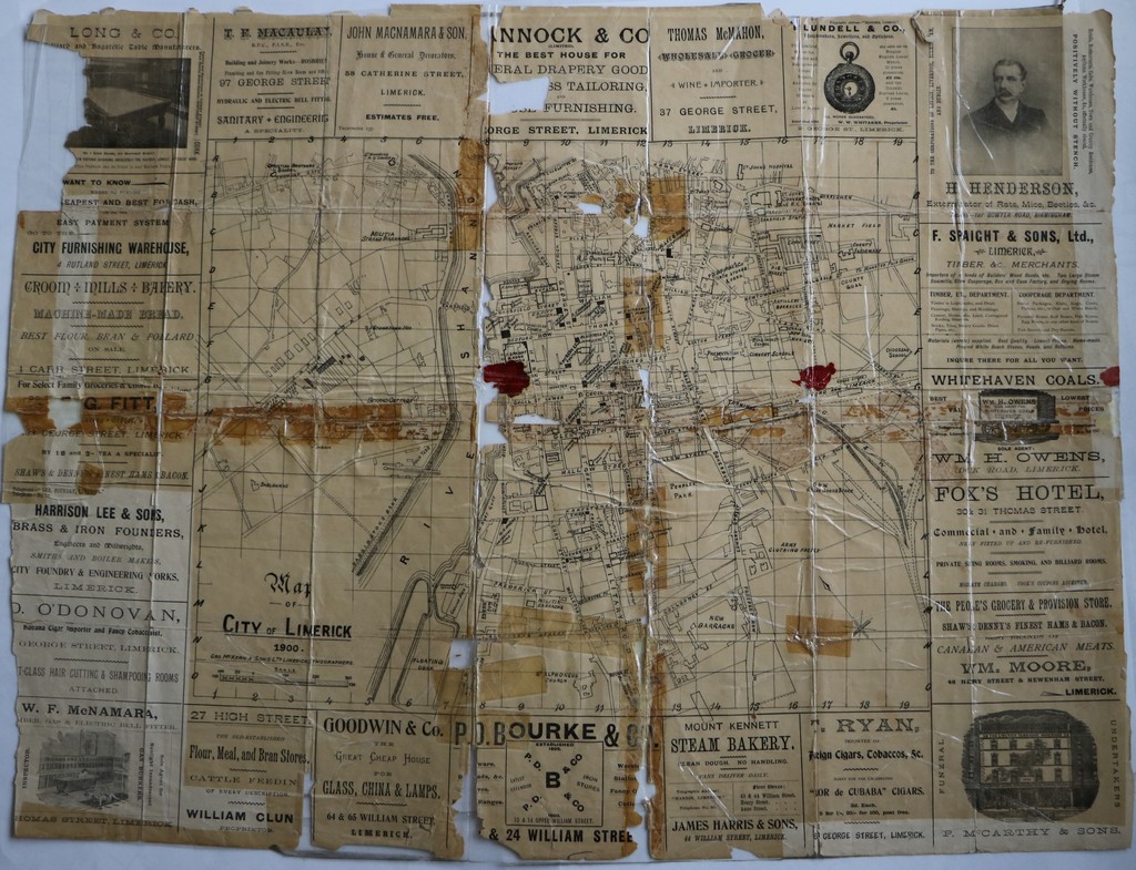
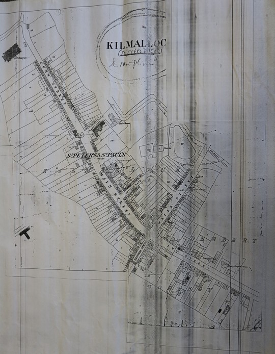
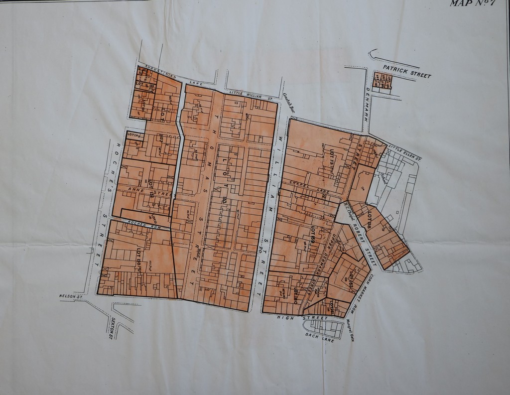
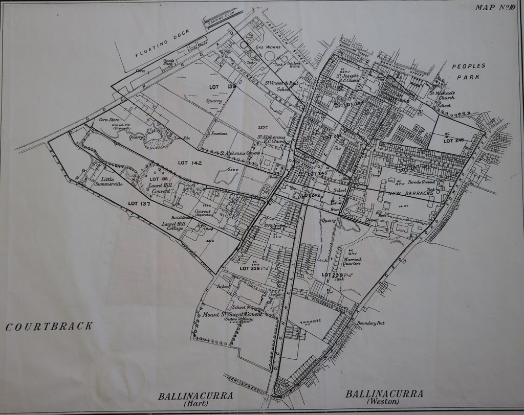
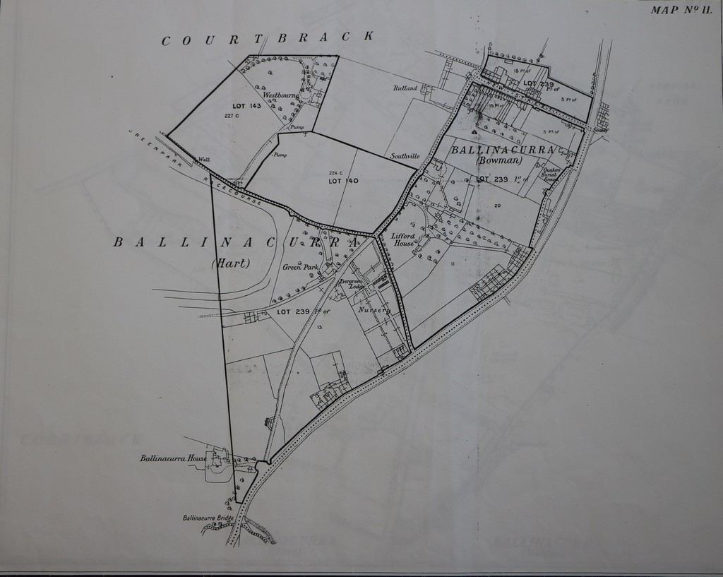
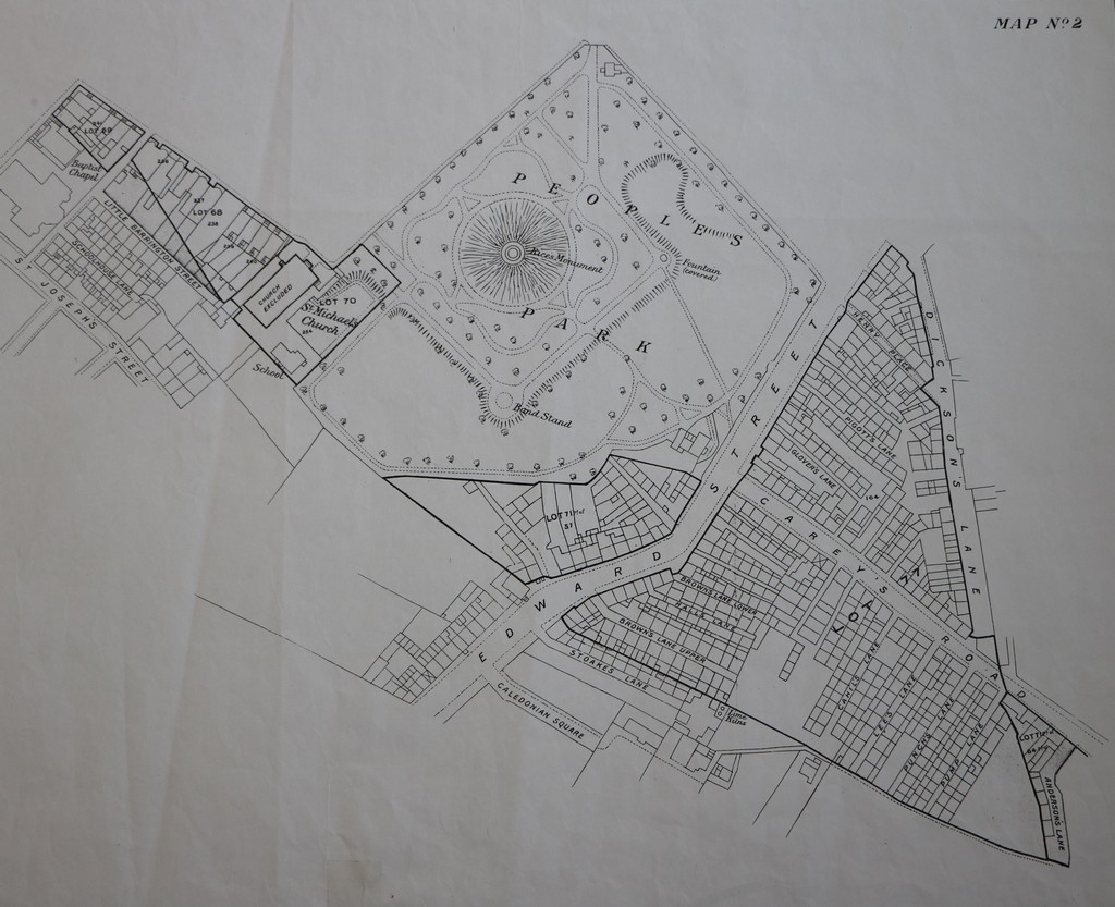
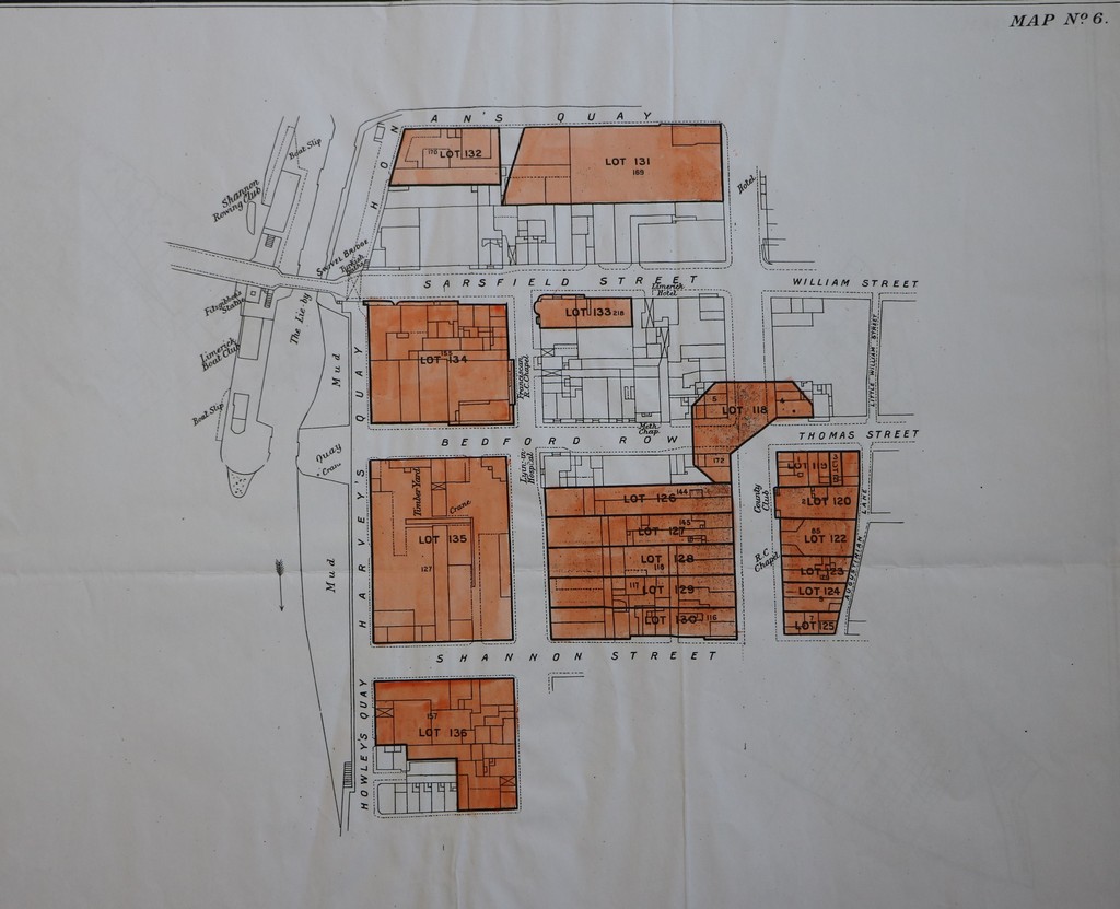
This set of maps was devised to accompany the catalogue for the sale of the ground rents of the Earl of Limerick in 1907. The catalogue, together with the seventeen maps included, constitutes an invaluable record of property and mapping of large parts of Limerick City from early in the 20th century.
See full feature on the 1907 Sale of Limerick Catalogue here
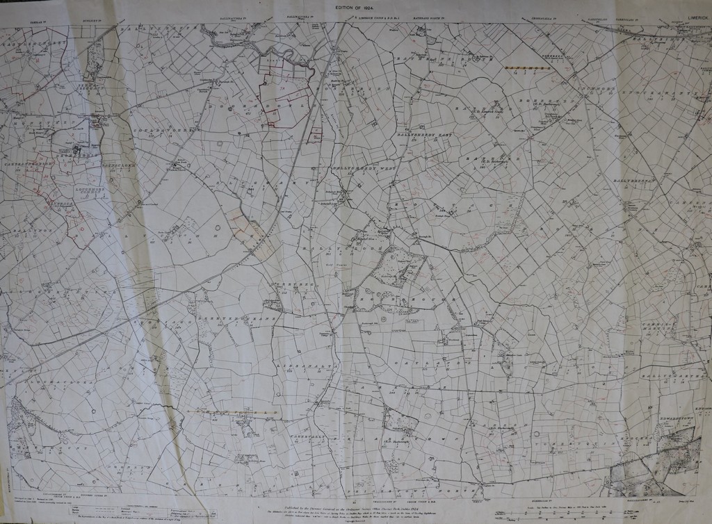
‘Griffith’s Valuation is the term commonly used to describe the manuscript and printed documentation produced between 1848 and 1865 in the course of a nation-wide valuation of land and houses.’ [Byrne’s Dictionary of Irish Local History, Mercier Press, 2004]. It constitutes the first comprehensive survey of property occupancy in Ireland, both buildings and land.
The map collection supplements the documentation, indicating locations of the properties valued, which are listed parish-by-parish and townland-by-townland. These maps are used extensively by family history researchers to establish the precise locations of family properties in the nineteenth century.
The Limerick Local Studies collection of Griffith’s Valuation maps comprises printouts of scans from microfilm and so are not perfect in terms of quality. Nonetheless, they are still very useful for research purposes.
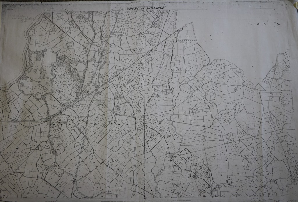
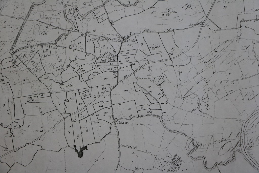

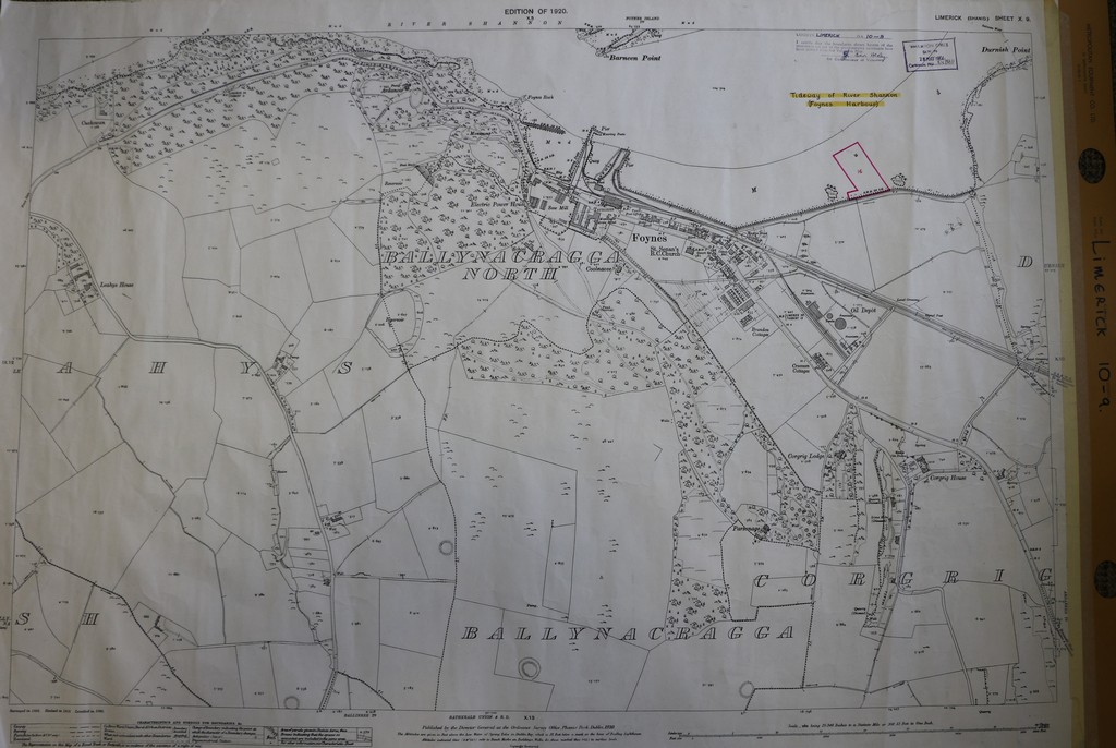
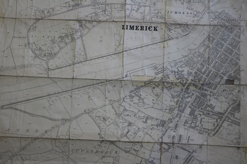
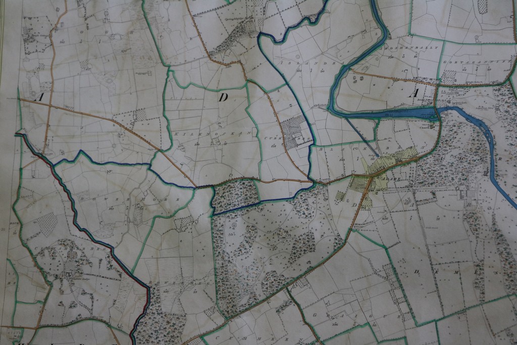
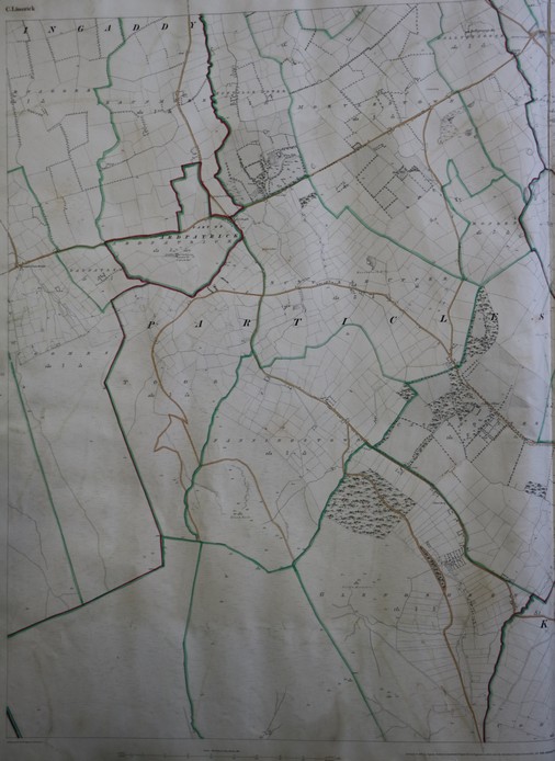
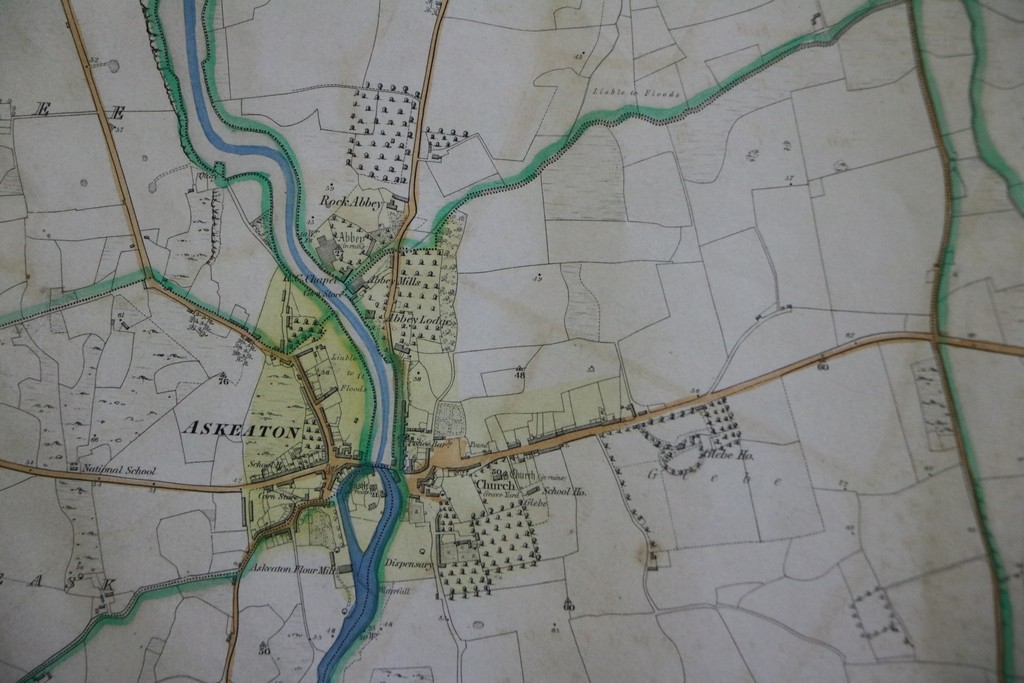
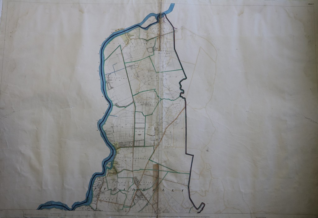
This is the collection of Limerick maps produced in 1840 by the first ordnance survey of Ireland, which was conducted between the years 1833 and 1846. Parish and townland boundaries as well as many other features are colour-illustrated. In addition to the maps, the Local Studies Department holds the collection of Field Name Books for County Limerick, compiled during the course of the survey, in which the townland boundaries are described, and other geographic details recorded.

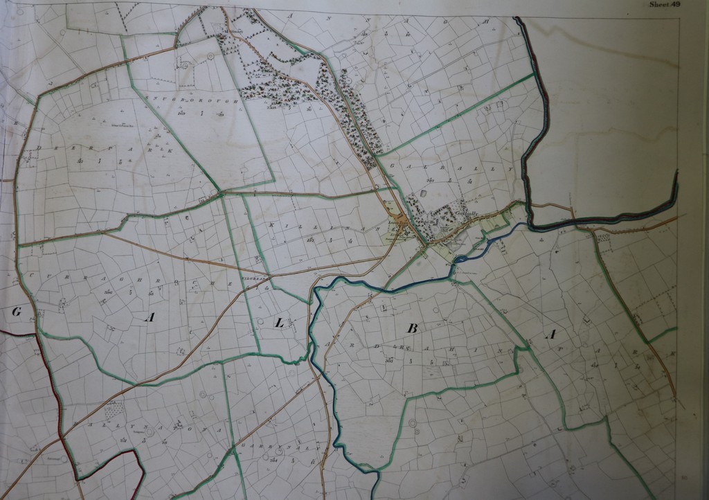
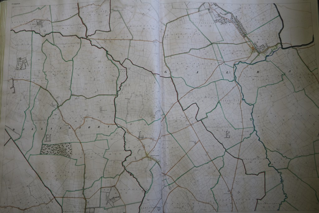
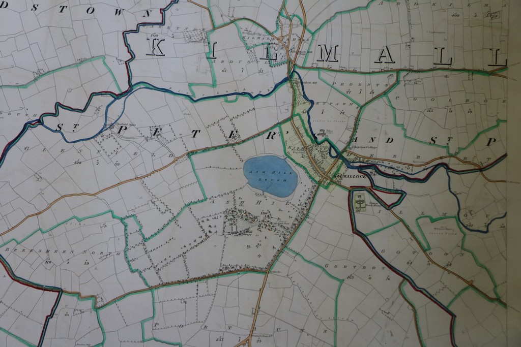
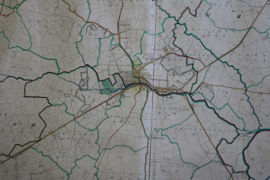
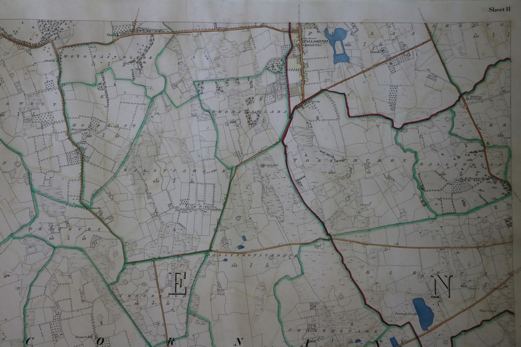
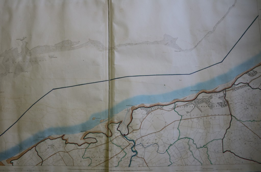
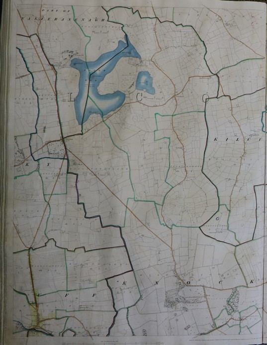
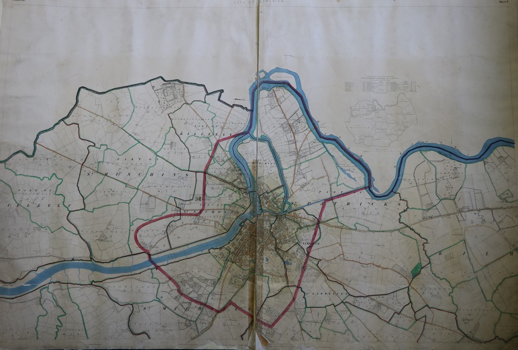

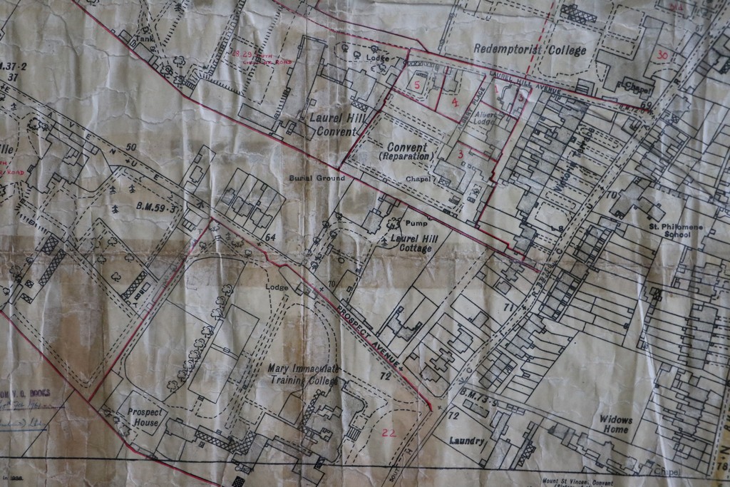
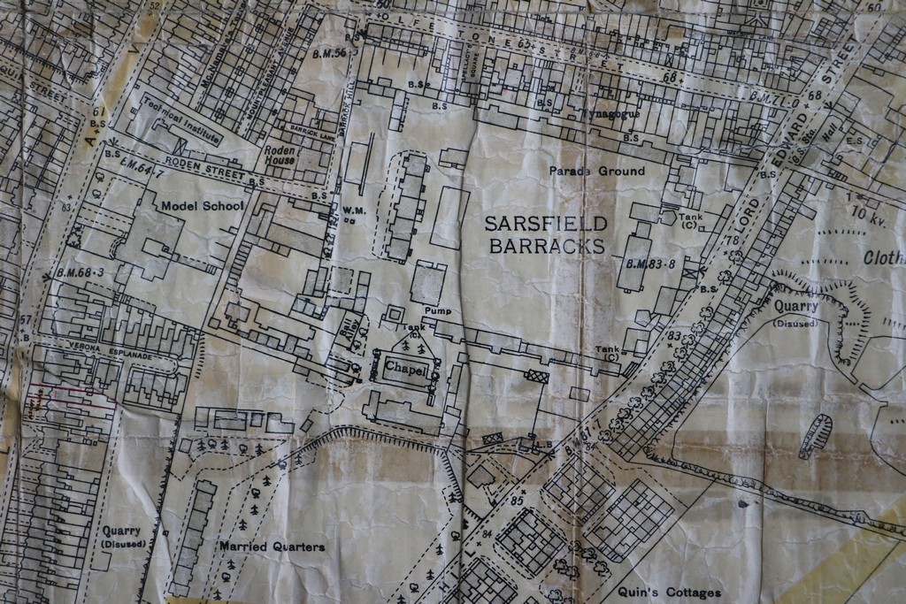
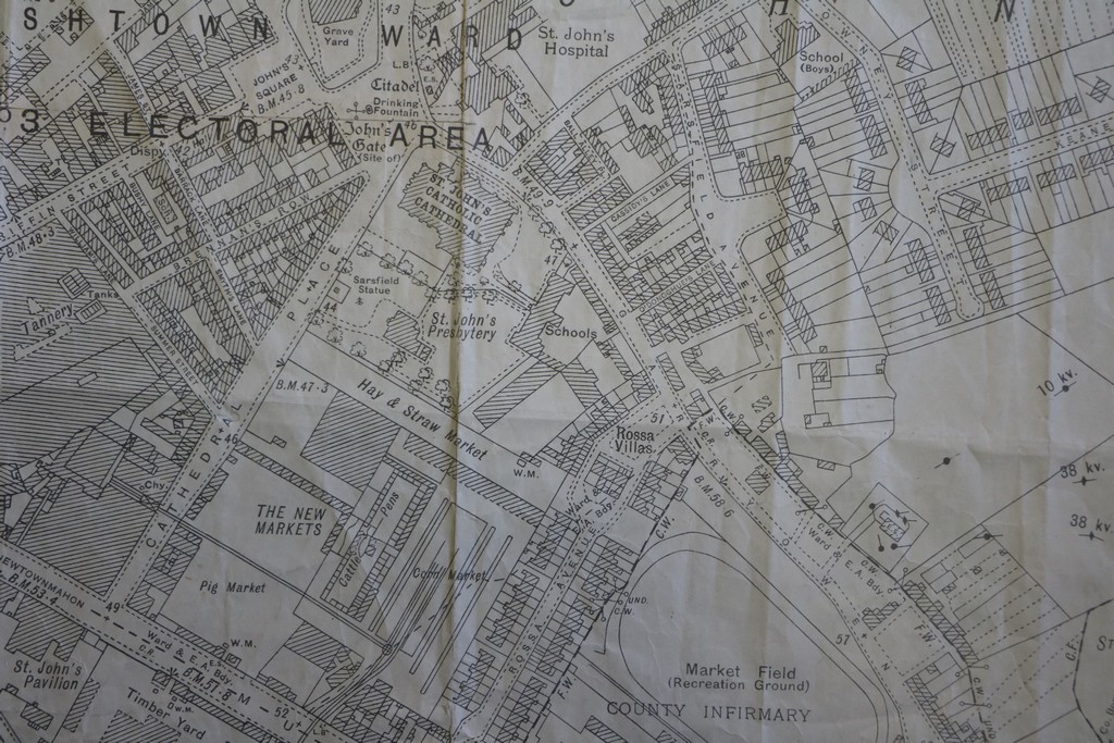
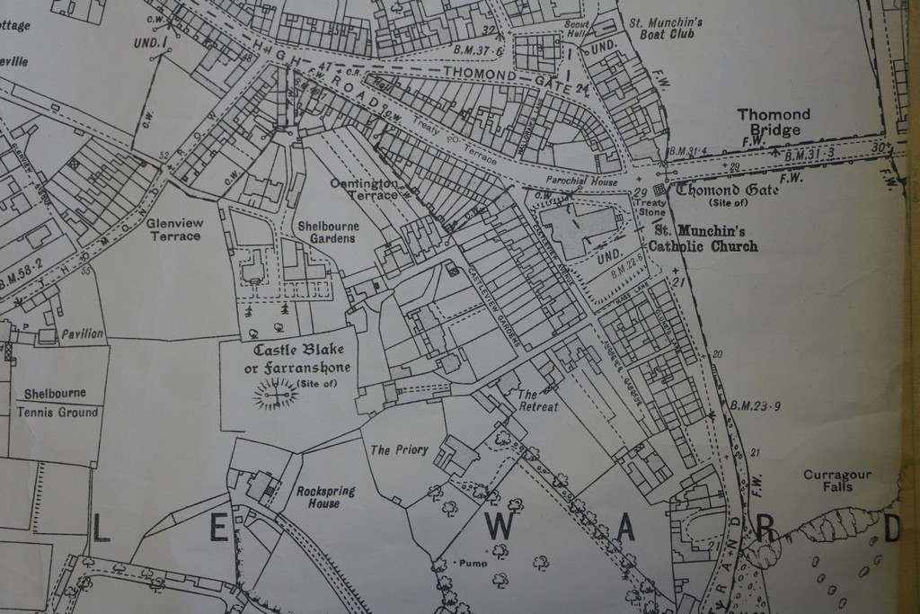
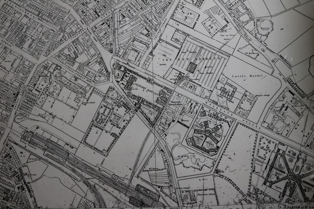
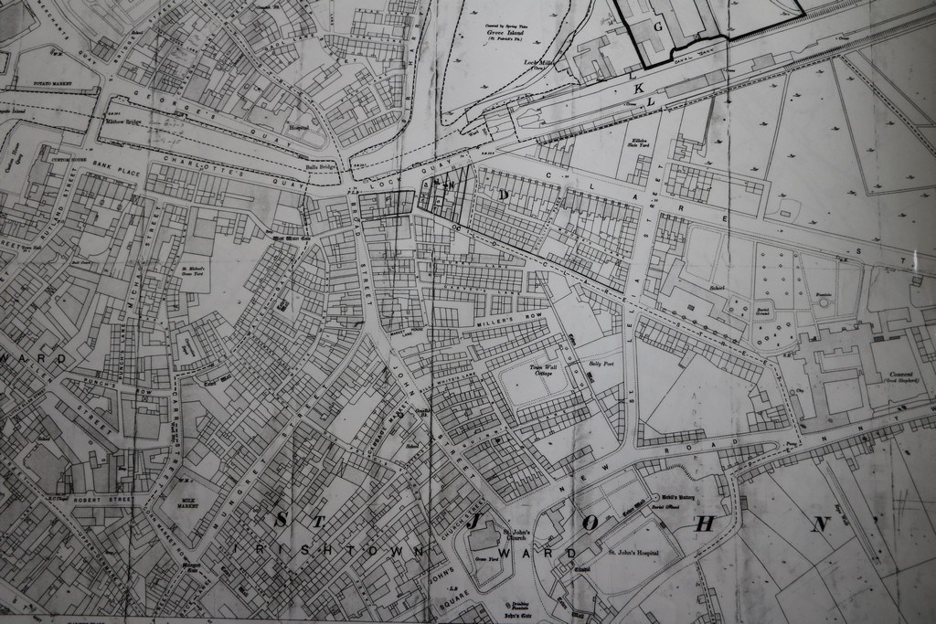
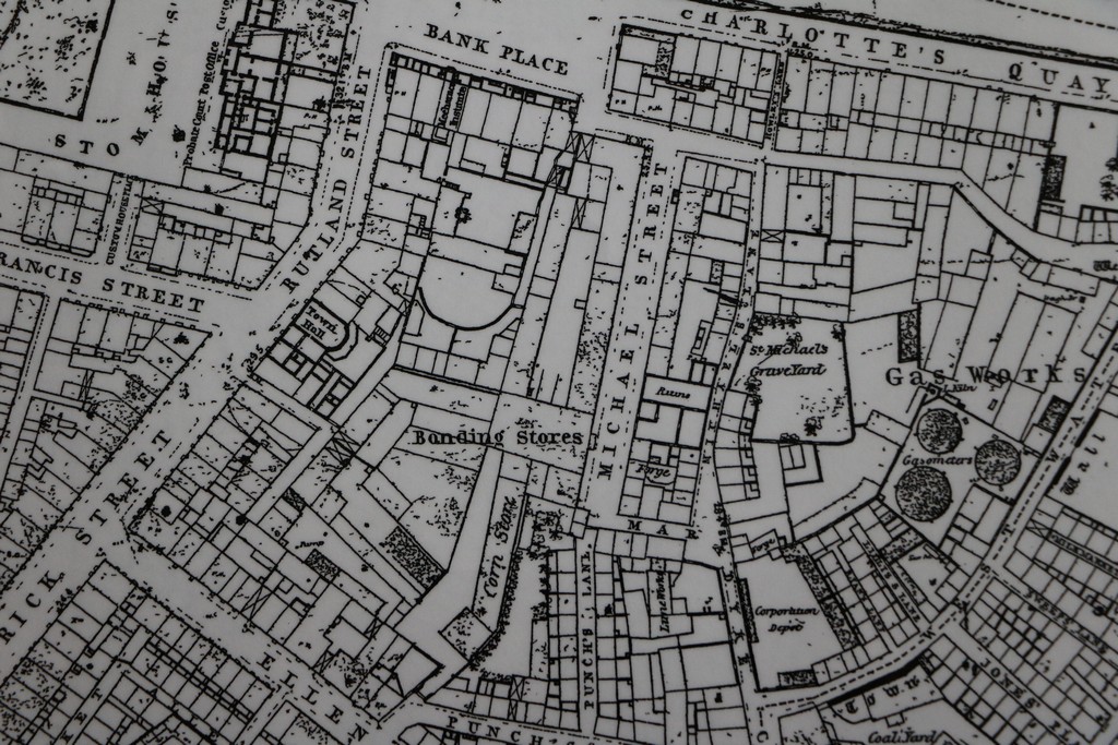
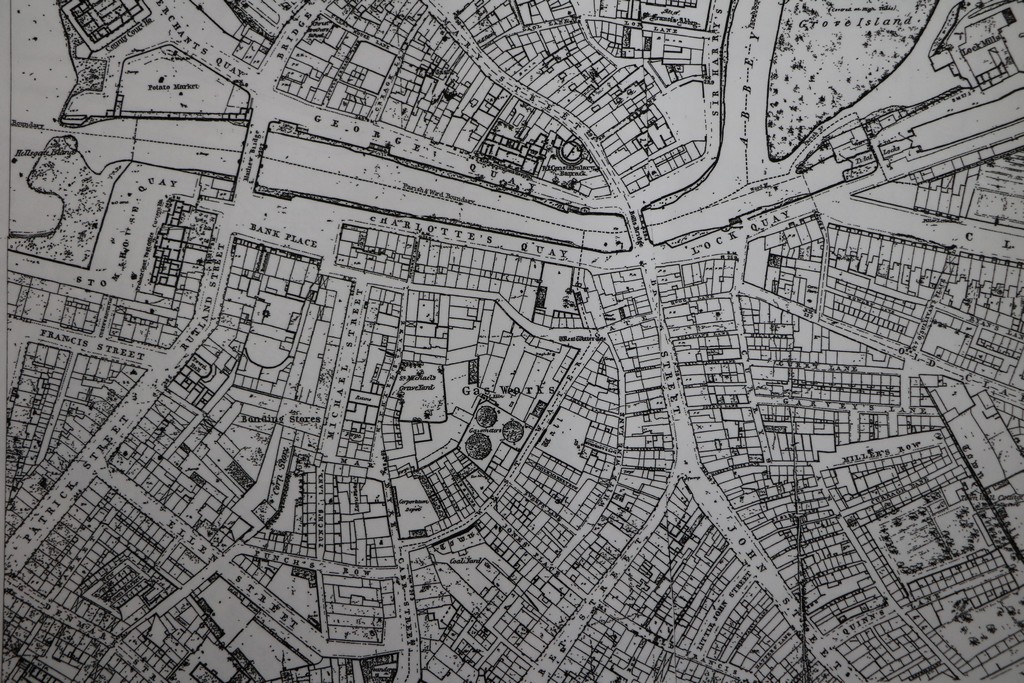
The Local Studies collection includes many further maps, from a variety of sources, including very detailed drawings of Limerick City and other towns of County Limerick.