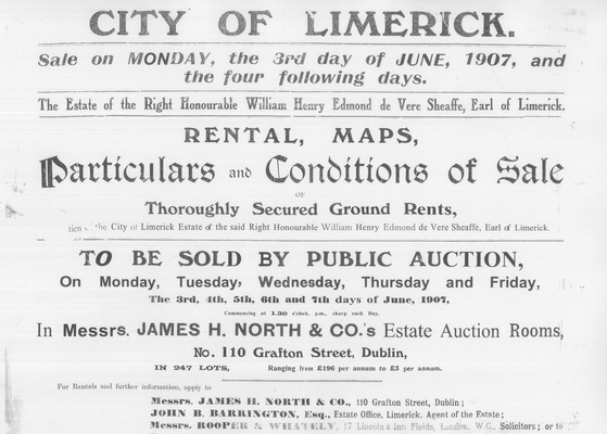
The sale catalogue consists of 17 maps, each map divided into numbered lots. Where an area of the map is not within a numbered section then this area is not included in the sale.
When you open a map at either the main page gallery of map images [click on the text name of the given map] or on the scrolling gallery of map images at the foot of each page, you will see the following:
- The map number (and size of associated file), followed by a listing of streets, buildings of note, and other miscellaneous items contained in the map. Clicking the map number will open the associated PDF file of the map.
- An image of the map, which can be clicked to magnify [using the right-click and ‘Open image in new tab’ may be useful, in order to keep the page open and enable you to switch easily between the magnified map and the details page].
- A listing of the individual lots (and associated file sizes) which can be clicked to open/download PDF versions of the individual lots.
- A gallery of the lots, which will open within the website when clicked. These images are useful for reference, but for greater detail open/download the PDF files.
NOTE: If using Microsoft Edge as your internet browser then a ‘Visual Search’ icon appears on top right when you hover the cursor over an image – clicking this brings you to an external search output for similar images. This is not part of the feature as designed by us but a standard Microsoft Edge feature.
